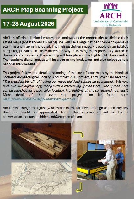
Digitising Highland Maps and Plans
 This project aims to get as many local maps as possible relating to the Highlands into the public domain, available for researchers, genealogists, clan diaspora, historians and archaeologists and anyone else with an interest in old maps. At the same time, it will provide local landowners and museums with high quality digital copies of their collections.
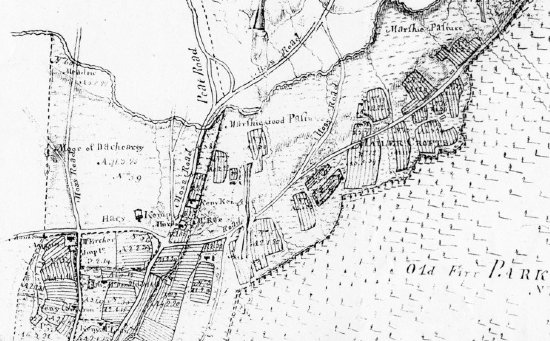
In 2018 the North of Scotland Archaeology Society led a project to hire a large flat bed scanner, and then volunteers scanned the Lovat Estate maps. The resulting scans were passed back to Lovat Estate who now use the digital maps instead of the paper ones. Importantly, the maps are also available on the National Library of Scotland (NLS) Maps website.
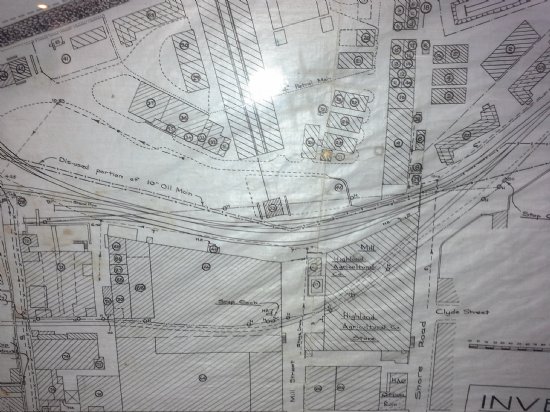
Over the years other estates have suggested that they might be interested if such a scanner could again be made available. This project builds on this interest. ARCH will hire again an A0 flat bed scanner for two weeks. We hope to be able to scan over 500 maps in this period. The NLS will take the resulting images and add them to the NLS maps website.
 The scanning will take place at the Highland Archive Centre 17-28 August. A number of estates and museums have already expressed an interest.
ARCH is looking for volunteers to help with logging the maps as they arrive or with doing the scanning. Perfect for anyone with a love of old maps! If you are interested in helping, email archhighland@googlemail.com.
ARCH is also seeking a project officer to oversee the work during the scanning, and help before and after. Details are in the ARCH website library, in the ARCH Jobs folder. Closing date 26th June.
Latest News...
15/07/2026 - ARCH Digitising Highland Maps and Plans project - volunteers wanted!
Welcome Claire Boardman, our newly appointed project officer for the Digitish Highland Map... More >>
10/06/2026 - Wanted: project officer for ARCH Digitising Highland Maps and Plans project
ARCH is looking to recruit a project officer for The Digitisng Highland Maps and Plans pro... More >>
27/01/2026 - Highland Heritage Day 2026 - Booking form and timetable available
This year's Highland Heritage Day will take place on Saturday 14th March at Dingwall A... More >>
Site of the Month
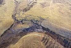 10/04/2021 - Easter Raitts township
Easter Raitts township Photo: Highland HER Although the Highlands is dotted with de... More >>
Find of the Month
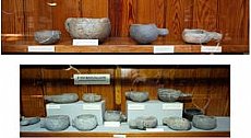 25/07/2022 - Steatite Vessels
These stone vessels, many with handles, were found at a variety of sites in Sutherland and... More >>